

The short answer: map consequences and dependencies, not just pavement
A useful winter service priority map shows which routes must function first, what each route connects, where snow can be placed, where meltwater travels, and which site constraints can stop the work. Build it during a dry pre-winter walk with the property manager, a site representative, and the winter contractor. Then revise it after the first meaningful snow or freeze event.
- Priority 1: emergency access, main entrances, essential pedestrian links, and critical vehicle routes.
- Priority 2: secondary entrances, visitor routes, parking connections, mail and waste access, and other shared paths.
- Priority 3: lower-use areas that can wait without blocking a higher-priority route or service.
The labels above are a planning tool, not a universal service standard. The actual sequence depends on the property, contract, weather, municipal requirements, equipment, and conditions during the event. A townhouse complex, apartment building, and commercial site can have very different dependencies even when their maps look similar.
Start with one base map and one full property walk
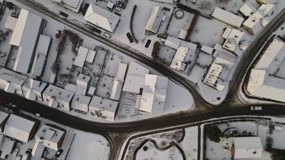
Use a current site plan, aerial image, or simple measured sketch. Walk it before winter while curbs, drains, utility covers, wheel stops, stairs, and grade changes remain visible. Mark property limits and distinguish private areas from municipal streets and sidewalks; responsibility and service scope should never be inferred from appearance alone.
Draw the routes that residents, visitors, staff, deliveries, waste collection, and emergency services actually use. Add slopes, shaded areas, low spots, narrow turns, gates, underground-parkade ramps, overhangs, and places where roof runoff reaches pavement. Number each map feature so the contract, site contact, and crew can refer to the same location.
Put on the map
- every vehicle and pedestrian entrance;
- stairs, ramps, curb cuts, crossings, and steep grades;
- hydrants, fire routes, drains, utility covers, and service rooms;
- approved snow-storage zones and prohibited placement areas.
Verify separately
- property boundaries and municipal frontage;
- who moves parked vehicles or opens gates;
- site-specific accessibility and emergency requirements;
- contract triggers, service limits, and reporting.
Rank entrances by what fails when they are blocked

Do not rank an entrance only by how prominent it looks. Ask what depends on it: resident access, an accessible route, staff entry, deliveries, a mechanical room, a fire route, or connection between buildings. A side door may be operationally critical while a decorative lobby approach has an alternate route.
Map the complete path to each entrance. Clearing the landing but leaving the connecting sidewalk, curb cut, gate, or parking transition untreated creates a disconnected island. Note door swings, canopies, roof-shed areas, handrails, mats, downspouts, and refreeze-prone shade. Keep site-specific accessibility decisions with the property manager and appropriate professionals rather than treating one generic width as correct everywhere.
- Identify: main, secondary, service, and emergency-related entrances;
- Connect: each entrance to a parking, sidewalk, or vehicle route;
- Sequence: clear the route before directing people toward it;
- Inspect: revisit runoff and refreeze after the initial service.
Draw pedestrian routes as continuous chains
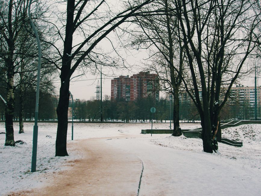
Trace paths from dwelling doors and parking areas to the destinations people need: lobby, mailbox, waste room, street sidewalk, visitor area, and shared facilities. Mark every transition where a plow windrow, parked vehicle, curb, step, or drainage channel could interrupt the chain. WorkSafeBC notes that wet, snowy, and icy conditions increase slip, trip, and fall risk and recommends proactive walkway de-icing in workplace settings.
Municipal frontage rules also differ. Surrey asks sidewalks around properties to be cleared before 10 a.m. after snowfall, while the Township of Langley states that residential property owners must clear fronting sidewalks within 24 hours. Langley City publishes its own snow and ice requirements. Confirm the current rule for the exact address and property type; do not paste one municipality’s timing onto another site.
- mark steep, shaded, exposed, and historically icy segments;
- show curb ramps and crossings as part of the route, not isolated details;
- keep cleared snow from narrowing another path or hiding an edge;
- define who checks for melt-and-refreeze after the first pass.
Sequence roads, ramps, parking, and service access
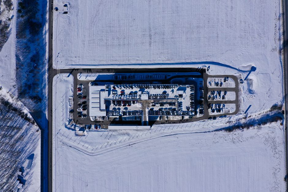
Separate through-routes, fire access, parkade ramps, loading and waste areas, visitor parking, and individual stalls. Show where vehicles queue and turn, where gates or overhead clearances constrain equipment, and where plowing one lane can leave a ridge across a pedestrian crossing or parked-car exit.
The map should state dependencies instead of promising an exact universal order. A waste enclosure cannot be serviced if its approach is blocked; a ramp may need treatment before equipment can reach a lower level; a visitor lane may wait while an essential access route is opened. The property manager should define priorities, and the contractor should confirm what the available equipment can execute without pushing snow into prohibited or unsafe locations.
Before an event
- set parking and vehicle-movement procedures;
- confirm gate, key, and dispatch access;
- mark low obstructions and clearance limits;
- identify alternate routes when one area is occupied.
During and after service
- check windrows at crossings and entrances;
- inspect ramps and turning areas for refreeze;
- record areas blocked by vehicles or stored items;
- escalate changes instead of improvising a new snow pile.
Choose snow-storage zones before the first storm
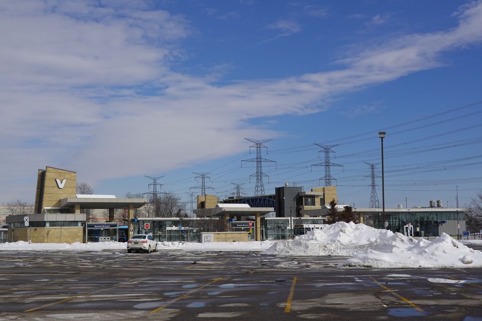
Mark primary and backup storage zones with enough room for the contracted service approach. Keep them away from entrances, accessible routes, hydrants, fire access, waste areas, utility equipment, drains, and sightlines at intersections or driveways. Do not assume a landscaped bed can accept repeated snow, de-icer, debris, and compaction without consequence.
Follow the meltwater downhill on the map. A convenient pile can drain across a walkway by day and refreeze after temperatures drop. It can also bury a drain, push water toward a building, or block the only practical location for the next snowfall. Where the site has little storage, the contract should clarify when relocation or off-site hauling becomes a separate decision rather than leaving the crew to invent capacity during a storm.
- Capacity: where the first, second, and later piles can expand;
- Visibility: whether a pile blocks drivers or pedestrians from seeing each other;
- Operations: whether the area conflicts with parking, fire, waste, mail, or utility access;
- Landscape: what paving, lawn, planting, wall, or drainage feature receives the load and meltwater.
Map drains and likely refreeze paths

Mark catch basins, trench drains, downspouts, low points, roof-drip lines, and water that crosses from landscaped grades onto pavement. Photograph their pre-winter condition. Clear routine debris where that is within the property’s maintenance scope, but do not redirect runoff or open a drainage system without understanding the lawful outlet and site design.
Use arrows to show likely daytime melt routes and circle the shaded or exposed pavement where that water may refreeze. Compare the winter map with the broader yard-drainage observation guide, while recognizing that winter service is not a substitute for correcting a failed grade, blocked system, or building drainage problem.
- inspect drains before forecast snow and after piles begin melting;
- keep planned storage from covering inlets and flow paths;
- record recurring ice as a drainage clue, not only a treatment task;
- escalate unknown outlets, flooding, and building-related water to the appropriate specialist.
Record obstacles, sensitive areas, and access controls
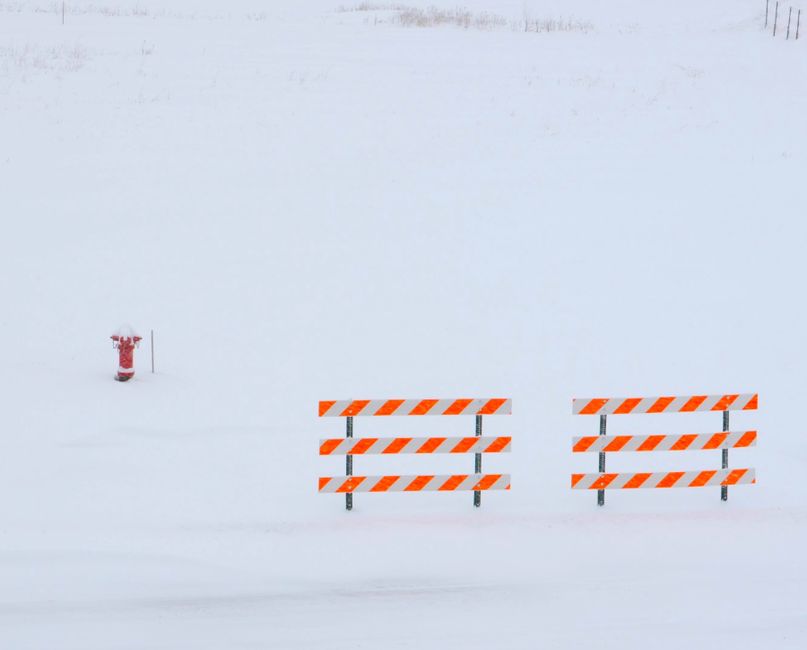
Map wheel stops, bollards, curbs, hydrants, valve boxes, irrigation components, utility covers, speed bumps, drain edges, low walls, planters, signs, stairs, and fragile landscape features. Add equipment-width limits, overhead clearances, tight corners, soft shoulders, and surfaces that require a different method. Use durable site markers where appropriate and agreed, but do not create new trip hazards.
Confirm who provides gate codes, keys, lockbox access, parked-vehicle notices, and approvals when a mapped zone becomes unavailable. A contractor cannot follow a priority map if the access route is locked or occupied. Atkinson’s winter services page describes its commercial and strata snow clearing and salting scope; the site map and service agreement should still capture the exact property rather than relying on a web-page summary.
- photograph each low or damage-sensitive obstacle;
- identify no-push and no-pile areas clearly;
- list the site contact authorized to resolve access conflicts;
- update the map after construction, landscape changes, or new traffic controls.
Turn the map into a communication and review routine
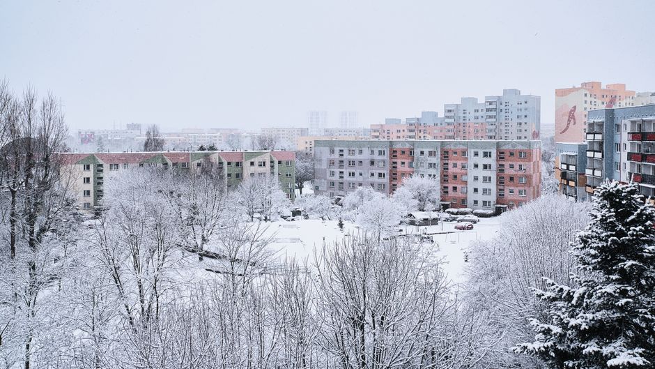
Attach a revision date, property address, legend, numbered zones, approved contacts, and contractor acknowledgement to the map. Keep a controlled copy where the property manager and dispatch team can find it. The service agreement should define triggers, included areas, treatment approach, blocked-area reporting, documentation, and escalation; the map should explain where those terms apply.
After a meaningful event, walk the site again. Compare the planned sequence with what actually happened: routes that were blocked, piles that filled early, hidden obstacles, missed dependencies, recurring ice, and resident confusion. Update the document rather than preserving a clean but inaccurate drawing. If the property also uses recurring landscape service, coordinate the winter map with the strata maintenance plan so drains, access, planting, and seasonal repairs are not treated as unrelated systems.
- issue the current map before the season and after every revision;
- define one normal contact and one after-hours escalation route;
- record service exceptions and site changes with time and location;
- review after the first event and after any failure or near miss;
- use the findings to change the map, contract scope, site controls, or capital plan as appropriate.
For a strata or commercial property that needs its site mapped and service assumptions checked, contact Atkinson Landscaping before winter capacity and weather make changes harder to coordinate.
References and further reading
- Atkinson Landscaping: Strata and commercial winter services
- City of Surrey: Winter Snow & Ice Control Operations
- Township of Langley: Snow and Ice
- Langley City: Snow & Ice Control
- WorkSafeBC: Preparing for winter weather and related hazards