

The short answer: collect wet-weather evidence before choosing a drainage fix
Before a patio, wall, lawn, planting, or full-yard renovation, observe where water starts, where it travels, how long it remains, and what changed nearby. A low spot is evidence, not a diagnosis. Roof discharge, blocked inlets, altered grades, compacted soil, settled paving, buried pipes, and an unsuitable outlet can create similar symptoms but require different work.
- Watch during rain: mark flow direction, splash, overflow, pooling, and the first place water appears.
- Return afterward: record which areas drain promptly and which remain soft or ponded.
- Preserve context: photograph downspouts, drains, walls, paving edges, slopes, and access routes before cleanup or excavation changes them.
- Do not improvise an outlet: confirm where water can lawfully and practically go before cutting a trench or installing pipe.
Lower Mainland rain can expose site conditions that disappear in dry weather. That makes fall and winter useful times to document a property before planning landscape work in Surrey, Langley, White Rock, or nearby communities. The goal is not to design a drainage system from photographs. It is to give the site assessment a better starting point and prevent a new landscape element from hiding an unresolved water problem.
Atkinson's residential projects include patios, walls, sod, synthetic grass, planting, and other work whose preparation depends on grade, soil, access, and drainage. The checklist below helps separate observations from assumptions before those elements are scoped.
Observe the timing and shape of ponding

Start with one meaningful rain event. Photograph the same view before rain, during steady rain, soon after it stops, and again later. Add a fixed reference such as a fence post, paving joint, or measuring stick. Note the time rather than relying on memory.
Surface clue
Water appears first in a shallow depression and expands from the centre. This may point toward local grade, settlement, or limited infiltration, but it does not establish the cause.
Incoming-flow clue
A visible sheet or narrow path arrives from a roof outlet, slope, hard surface, neighbouring edge, or higher part of the property.
Below-surface clue
Water returns after the surface was cleared, appears from an edge or joint, or remains while comparable nearby ground drains.
Measure the approximate footprint and depth only where it is safe. Also note whether the ground is merely wet, soft enough to deform underfoot, or covered by standing water. These are different conditions. If water is moving toward a building, entering a structure, crossing a property boundary, or associated with a backed-up drain, treat it as an assessment or emergency-maintenance issue rather than a routine landscape observation.
Trace roof water and visible surface routes
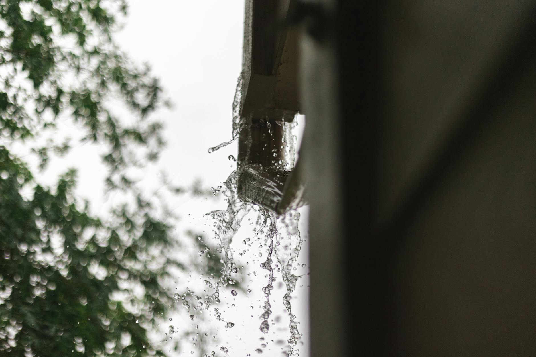
Trace each eavestrough, downspout, splash pad, visible channel, swale, catch basin, and drain grate. Do not assume a pipe beside the house is connected, clear, or routed where an old sketch suggests. Record what can actually be seen and label the unknown sections.
City of Surrey guidance identifies downspouts, splash pads, rock pits, porous surfaces, swales, and perforated pipes as different residential drainage features. Those options do not make every feature suitable for every lot. Soil, available fall, nearby foundations, municipal requirements, existing connections, and a verified outlet still matter.
- Photograph overflowing gutters, disconnected fittings, crushed extensions, staining, erosion, and sediment trails.
- Mark whether water is discharged onto lawn, into a bed, across paving, or into a visible connection.
- Clear loose leaves from accessible private grates and nearby gutters without opening infrastructure or entering unsafe road conditions.
- Record a grate that blocks again quickly; repeated blockage may indicate an upstream debris source or a capacity problem, not simply missed cleanup.
Surrey and the City of Langley both advise keeping gutters, downspouts, catch basins, and storm-drain surfaces clear of debris. Maintenance is the first check, but a clear inlet does not prove the buried route is working.
Read the grades as a connected system
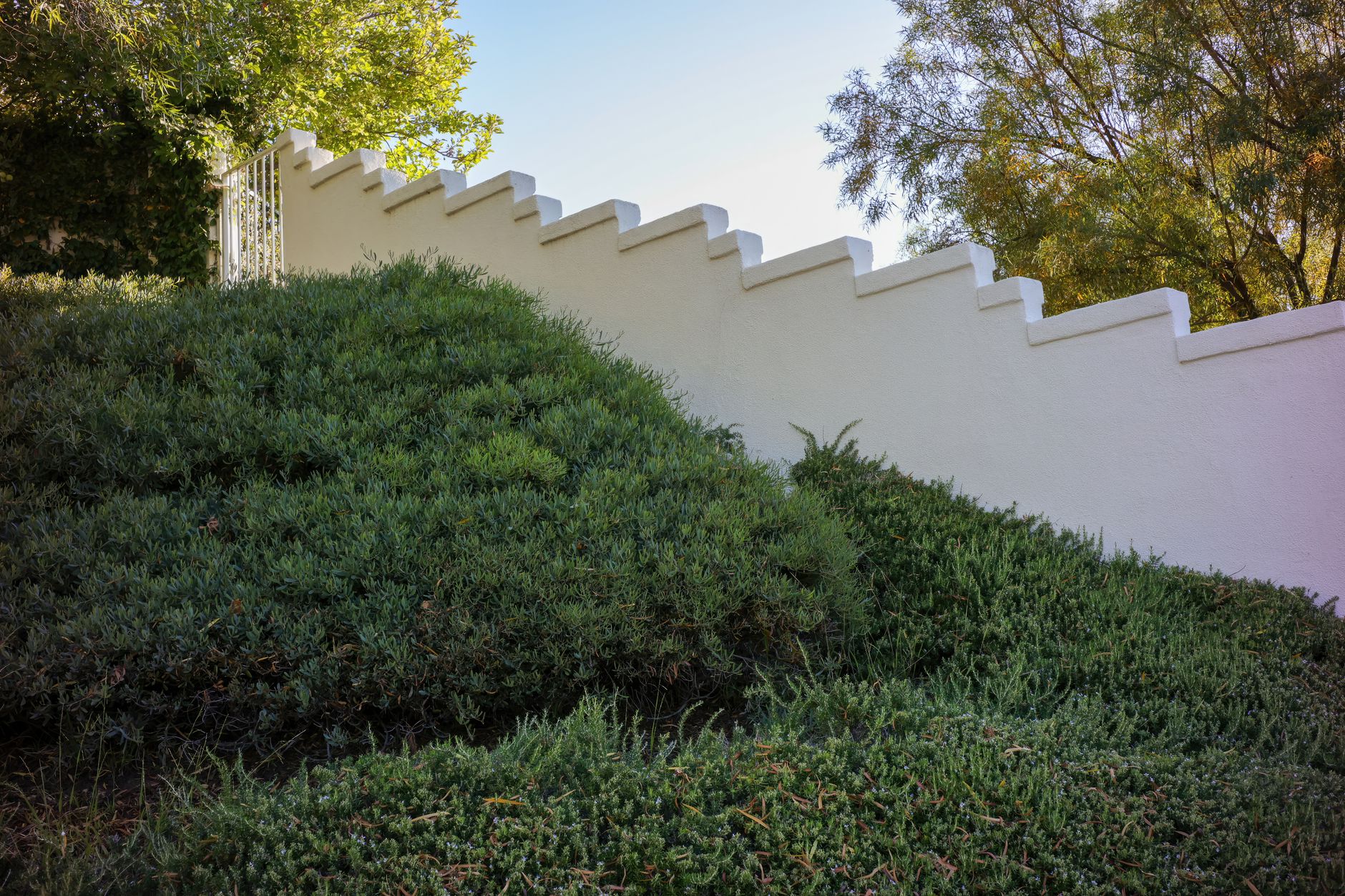
Stand at the high side of the property and follow the apparent fall toward the low side. Then walk the same route during rain. Water may follow a subtle paving edge, compacted track, fence line, wall, or buried trench rather than the direction that looks obvious from the middle of the yard.
Create a simple sketch showing buildings, doors, stairs, walls, fences, drains, downspouts, paving, lawn, beds, and neighbouring edges. Add arrows only where flow was observed. Use question marks for routes hidden by vegetation, structures, or soil. A contractor can confirm elevations with suitable instruments; a phone level or visual estimate is not a construction layout.
Record as a site constraint
- low door or garage thresholds;
- narrow side yards and enclosed courtyards;
- steps, wall tops, and paving that limit finished elevation;
- neighbouring grades and shared or uncertain boundaries.
Do not assume
- that raising one low area solves the property;
- that water can be shifted to a neighbour or public edge;
- that a decorative wall is retaining soil safely;
- that an old surface elevation is the intended design grade.
Check whether traffic and wet work changed the soil

Map vehicle tracks, storage areas, former sheds, construction access, repeated footpaths, and places where fill or topsoil may have been added. Soil that looks similar at the surface can behave differently where its pore space has been reduced or layers were mixed.
University of Minnesota Extension explains that compaction reduces large pore spaces and can slow both infiltration and drainage. It also notes that wet soils are especially susceptible to damage from traffic. The agricultural examples are not a residential design specification, but the underlying observation is useful: avoid driving or repeatedly working saturated ground when access can be staged another way.
- Photograph ruts, footprints, cracked crusts, smeared soil, and water aligned with former wheel paths.
- Note where the ground remains wet after adjacent areas become firm.
- Identify access widths, gate openings, overhead limits, stairs, and protected surfaces before equipment is proposed.
- Keep excavated soil, aggregates, and pallets out of drainage paths and tree-root areas unless the site plan specifically provides for them.
Do not prescribe aeration, deep ripping, imported soil, or excavation from surface appearance alone. The useful next question is whether the problem is shallow compaction, unsuitable or layered soil, an incoming water source, high groundwater, or some combination.
Inspect paving, walls, and edges for movement clues

Hard surfaces concentrate and redirect water. Photograph patio corners, walkway transitions, stair landings, wall bases, edging, and places where paving meets lawn or a bed. Include a wider view so the source and destination remain visible.
Look for repeated damp lines, washed joint material, silt fans, open edges, settled units, rocking pavers, erosion below a discharge point, or vegetation growing in a consistently wet seam. These clues can support a repair assessment; they do not reveal base thickness, buried utilities, wall drainage, or structural condition by themselves.
If a patio is part of the renovation, compare the observations with the paver settlement and repair guide. A localized reset may be reasonable when the cause and surrounding work are sound. Wider settlement, poor transitions, failed edges, or unresolved runoff can make rebuilding the affected assembly more sensible than repeatedly levelling the surface.
Separate surface drainage from buried-system questions
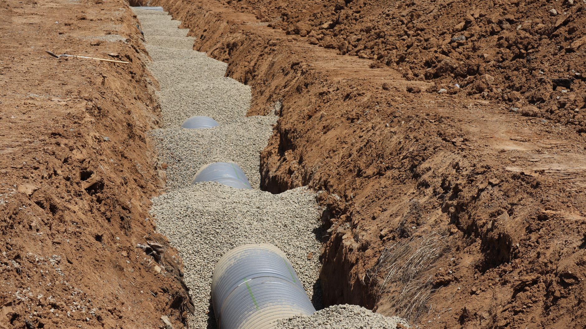
Gather available property records, previous invoices, repair photos, permits, and sketches, but label each by date and source. On site, photograph every visible cleanout, grate, pipe end, sump, channel, and unexplained cover. Do not state that two visible points connect unless that route has been confirmed.
Surrey's homeowner guidance says perimeter drains can lose capacity when obstructed and may require cleaning, assessment, or replacement depending on condition. A landscape contractor can document visible site symptoms, but foundation drainage, municipal connections, pumps, sewer backups, and concealed failures may require a drainage specialist, plumber, engineer, municipality, or other qualified party.
Maintenance question
Is an accessible grate, gutter, swale, or surface route blocked by removable material?
Investigation question
Does water persist or return when the visible route is clear, or is the buried connection unknown?
Design question
Will the renovation add hard surface, change grade, intercept flow, or require a different verified outlet?
Before any excavation, confirm buried utilities and required permissions through the current local process. Do not use an article, an old plan, or a contractor's visual guess as a utility locate.
Record access, excavation, and base-preparation constraints

Drainage and site preparation affect how material enters and leaves the property. Record the route from the street to the work area, gate width, steps, overhead clearance, turning space, staging area, and surfaces that cannot carry equipment. Note whether excavated material can be stored temporarily or must leave as work progresses.
For patios, synthetic turf, sod, walls, or rebuilt beds, ask how unsuitable soil, organic material, buried debris, and old base will be handled. “Add gravel” is not a complete scope. The project should distinguish the prepared subgrade, specified base materials, drainage components, edges, finished elevations, and disposal assumptions appropriate to that landscape element.
- Show where rainwater will travel during construction, before the finished surface exists.
- Protect open excavations and stockpiles from receiving uncontrolled runoff.
- Keep a photo record of exposed soil, unexpected fill, pipes, roots, and old construction before they are covered.
- Pause when site conditions contradict the quoted assumptions rather than concealing the difference beneath new work.
Confirm the destination—and know when to stop
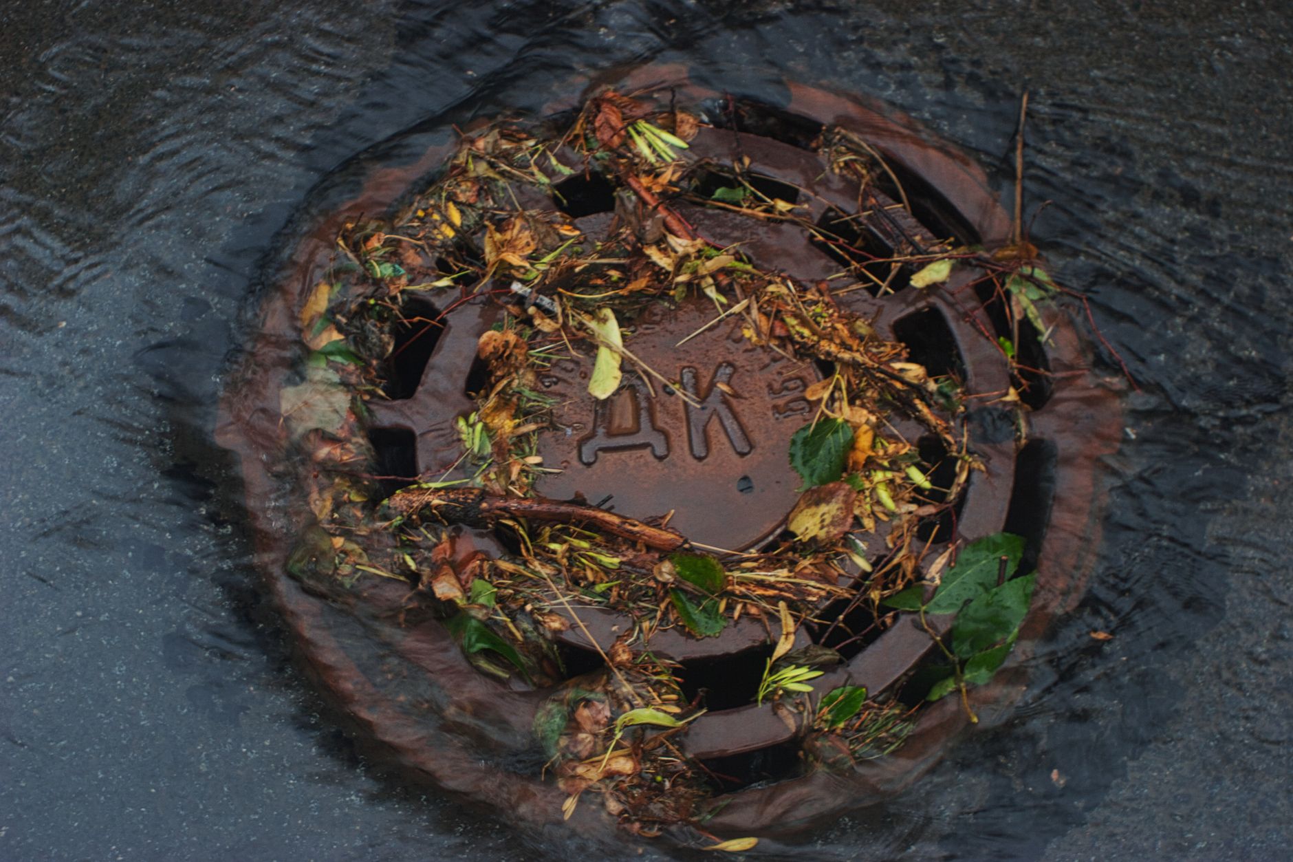
A drainage concept is incomplete until the destination is understood. Water may be slowed, spread, infiltrated, conveyed, or connected through an approved system depending on the property. The choice depends on soil, available space, elevations, existing infrastructure, adjacent properties, and current municipal requirements.
Useful package for an assessment
- dated rain-event photos from consistent viewpoints;
- a site sketch with observed flow arrows and unknown routes;
- ponding timing, approximate dimensions, and affected elements;
- records of old work, visible drains, and recent property changes;
- access, staging, and finished-elevation constraints.
Stop and escalate when
- water enters or threatens a building;
- a sewer or private drain backs up;
- runoff crosses a boundary or its lawful outlet is uncertain;
- a wall, slope, tree, utility, or structure may be unstable;
- the proposed work may require municipal, engineering, or specialist review.
For planting-specific observations, the existing yard-drainage guide before planting covers soil and plant-placement questions in more detail. For a broader renovation, send Atkinson the wet-weather record and project goals so drainage, grade, access, and the intended landscape element can be discussed together rather than treated as separate surprises.
References and further reading
- Atkinson Landscaping: Residential landscaping projects and service elements
- City of Surrey: Common sustainable residential drainage features
- City of Surrey: Flooding prevention tips for homeowners
- City of Langley: Tips to prevent flooding
- University of Minnesota Extension: Soil compaction, pore space, infiltration, and wet-soil traffic