

The short answer: diagnose the movement before choosing a repair
A leaning retaining wall is evidence that something changed, but the face alone does not reveal whether the cause is drainage, soil movement, lost base support, added loading, deteriorated materials, or an unsuitable wall system. A small cap or facing defect may be repairable. A growing bulge, forward rotation, spreading settlement, slope movement, or distress beside a driveway, building, patio, or public route needs broader assessment before anyone excavates or resets units.
- Document first: photograph fixed reference points, map cracks and bulges, and note what changes after heavy rain.
- Restrict access: keep people and vehicles away when units are loose, movement is active, or the wall leans toward an occupied area.
- Verify scope: municipality, wall height, slope, loads, property limits, utilities, and soil conditions can change permit and professional requirements.
A retaining wall is a soil-support system, not just a row of attractive blocks. The wall face, foundation, retained soil, drainage aggregate, outlet, reinforcement where required, top and toe grades, and nearby loads work together. That is why pushing blocks back into line or filling a crack can hide the symptom without correcting the force that moved the wall.
Map lean, bulges, settlement, and displaced units
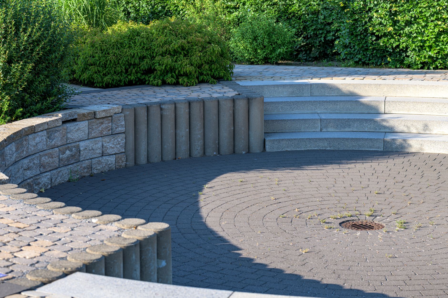
Start without digging. Photograph the wall from both ends, directly in front, and from above where that can be done safely. Include a fixed object or measuring reference, then mark the date. Record forward lean, isolated bulges, stair-step displacement, open joints, sunken courses, lifted caps, eroded toe soil, and cracks in adjoining paving. Repeat the same views after heavy rain and at regular intervals.
Movement pattern matters. A low section may point to foundation settlement; rotation through several courses may involve the base, retained soil, or loading; a localized face defect may be limited to damaged units. Do not infer stability from one measurement. CMHA’s inspection guidance evaluates wall geometry together with soil, water, structures, utilities, and loading conditions.
Record promptly
- the beginning and end of each affected area;
- changes at corners, steps, and wall ends;
- cracks or sinking in surfaces above;
- movement after rainfall or new work nearby.
Keep clear and escalate
- loose or falling units;
- rapidly increasing lean or bulge;
- distress near a house, driveway, stair, or occupied route;
- new slope cracks, seeps, or ground movement.
Trace surface water, seepage, and the drainage outlet
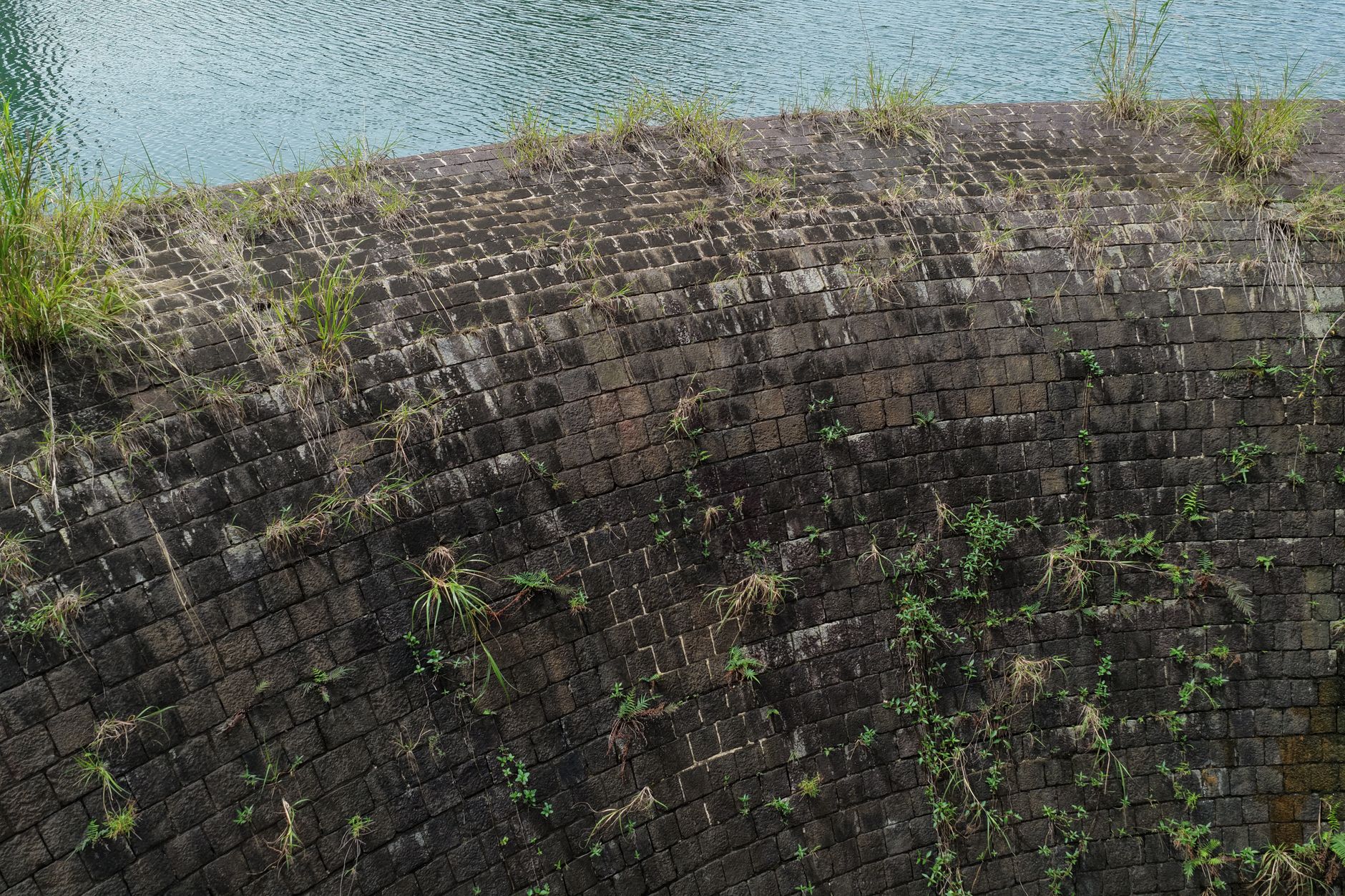
Inspect during dry weather and again during steady rain. Look above the wall for roof discharge, sloping pavement, compacted soil, irrigation, ponding, and swales that terminate at the retained area. At the face and ends, record damp bands, sediment staining, flowing joints, washed-out soil, blocked outlets, and water emerging where it did not before.
CMHA guidance treats water sources and positive drainage as design inputs. A drain is not useful merely because pipe is present; its location, filter relationship, capacity, condition, and outlet all matter. Never drill the face, trench behind a questionable wall, or redirect runoff toward a neighbour, building, or slope without a site-specific plan. Use the yard-drainage checklist to organize surface observations, then have the wall assembly assessed separately.
- Source: where water enters the retained area;
- Path: whether it travels over the surface, through soil, or along a utility trench;
- Outlet: where it can leave without erosion or off-site harm;
- Change: whether a new patio, downspout, planting bed, or grade altered the route.
Check slopes, structures, utilities, and loads around the wall

Map what sits above, below, and beside the wall: a driveway, parked vehicle, patio, shed, fence, mature tree, steep slope, pool, building, stair, neighbouring grade, or another wall tier. These conditions can add load, constrain drainage, change failure consequences, or require professional review. Also look for recent excavation, tree removal, utility work, added soil, or changed access.
Before any excavation, use BC 1 Call and follow the locate instructions. A locate does not replace design review, but it helps prevent damaging registered buried infrastructure. Property boundaries, easements, rights-of-way, and municipal drainage are separate checks; the City of Surrey states that permitted retaining-wall work must remain within the property and outside right-of-way, easement, and restrictive-covenant areas.
- note the distance from the wall to each load or structure;
- record the total grade change, not only visible block height;
- identify tiered walls and slopes above or below;
- do not remove supporting soil from a distressed wall to “see what is happening.”
Separate a garden edge from a soil-retaining system

A garden wall may define a bed, add texture, or retain a shallow, lightly loaded grade. A retaining wall supports soil where the grades differ and must respond to soil, water, foundation, geometry, and loads as a system. Height alone does not tell the whole story: a short wall below a driveway, near a foundation, on a steep slope, or combined with upper tiers can demand more review than an isolated garden edge.
Do not assume the original label was correct. Measure visible height, locate the top and bottom grades, sketch tiers, and record what the soil supports. CMHA distinguishes conventional segmental walls from reinforced-soil systems; the appropriate system depends on geometry and site conditions. Atkinson’s retaining-wall page shows the material, access, grade, excavation, and replacement variables that affect scope, while classification and design still depend on the actual property.
Inspect the face material without confusing appearance with structure
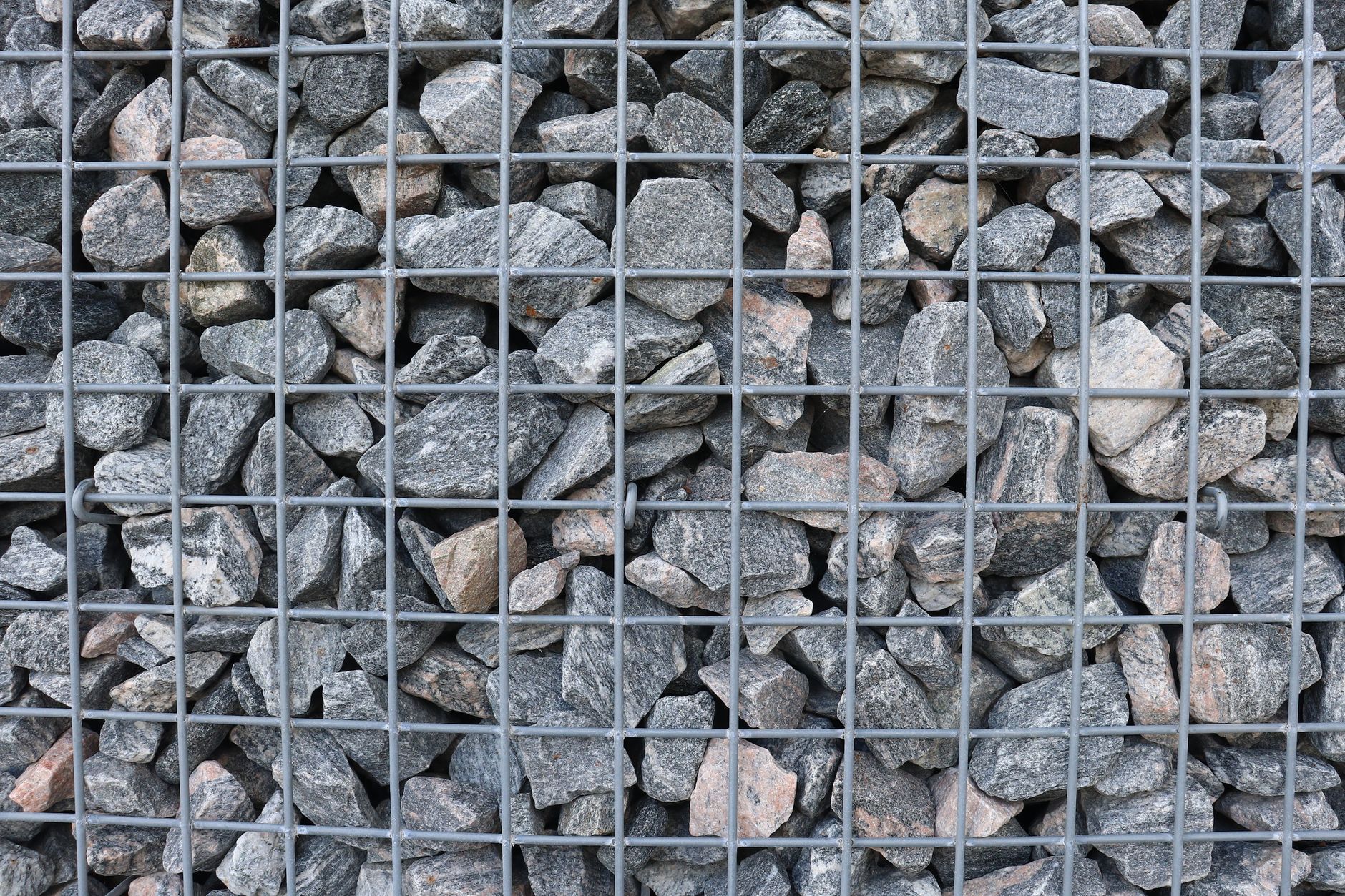
Record cracked or spalled units, decayed wood, corroded connectors, displaced caps, opened joints, bowed wire baskets, and vegetation rooted through the face. These observations help identify maintenance needs and replacement limits, but they do not reveal hidden foundation, backfill, drainage, or reinforcement conditions.
A sound-looking face can move as a whole, while a damaged cap may be cosmetic. Conversely, resetting one block in an actively rotating wall does not restore stability. Compare the face with grade movement, drainage, and adjoining surfaces. If the wall uses a proprietary block, timber, poured concrete, natural stone, or gabion system, repair details should be compatible with that system rather than improvised from a different wall type.
Potentially local
- isolated cap or facing damage;
- stable alignment and grade;
- no recurring water or soil loss;
- sound support around the defect.
Potentially systemic
- rotation or bulging through multiple courses;
- settlement continuing beyond one unit;
- soil migration, washout, or new seepage;
- distress extending into paving, steps, or slope.
Verify permit and professional requirements before planning excavation

Requirements vary by municipality and site. The City of Surrey says a residential retaining-wall permit is required for a wall greater than 1.2 metres when the supporting ground is critical to building-foundation stability or the wall is on a sloping hillside; its application also requires a Registered Professional. Surrey separately advises owners near steep slopes to involve a Professional Engineer or Professional Geoscientist when considering a retaining wall.
Those Surrey statements should not be reused as a universal Lower Mainland threshold. Confirm current requirements with the municipality for the exact address and scope before design or excavation. Ask specifically about total retained height, tiers, slopes, surcharge loads, buildings, property boundaries, trees, drainage, and replacement of an existing wall. Professional review may still be prudent when a permit threshold is not triggered.
- confirm the authority and property records;
- document wall geometry and surrounding loads;
- identify utilities, access, and temporary-site constraints;
- obtain required design, permit, and inspection information;
- sequence demolition so unsupported soil and adjoining work remain controlled.
Choose repair only when the failure mechanism is bounded
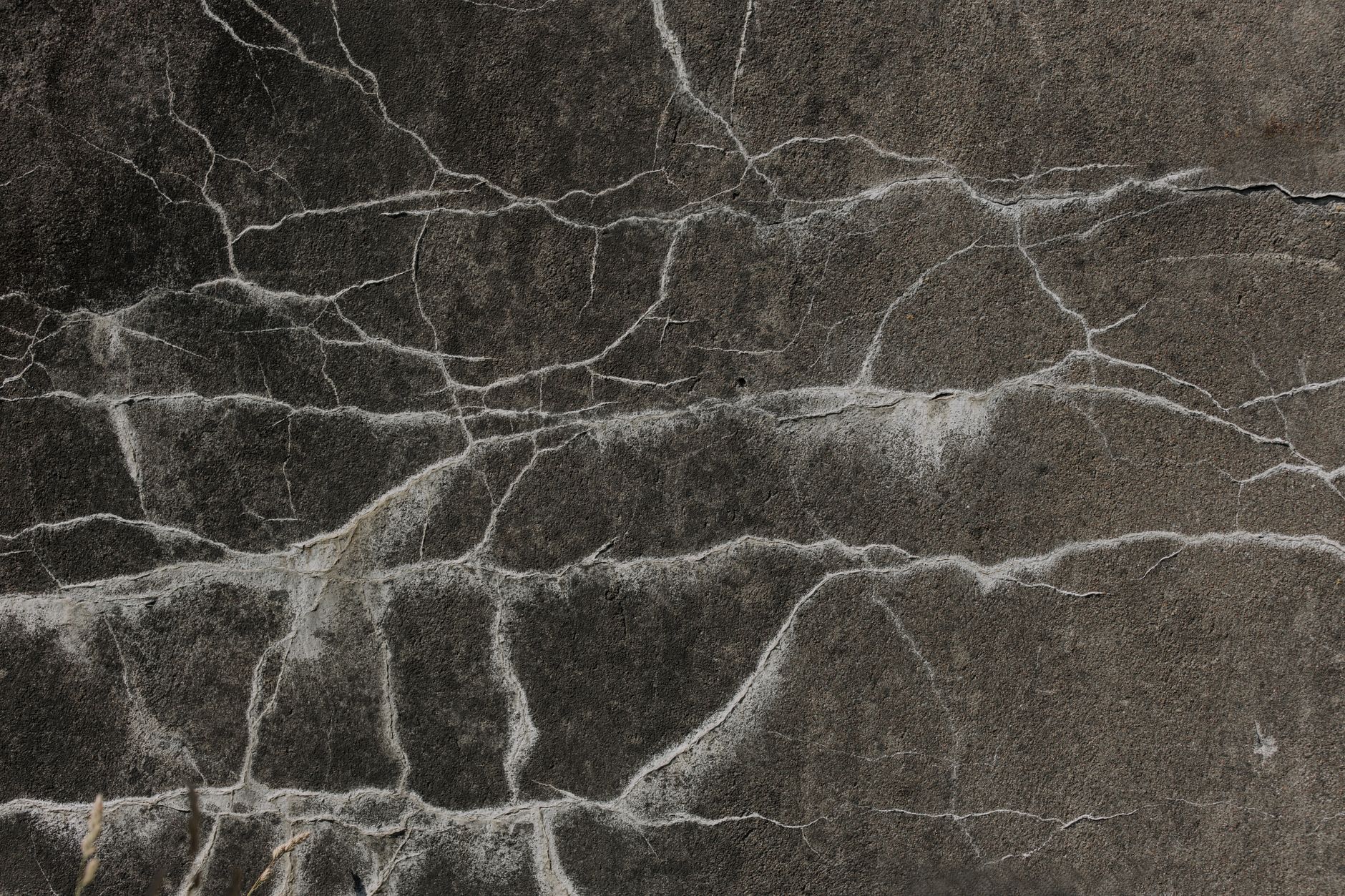
A local repair is credible when investigation shows a limited defect, stable surrounding work, a correctable water source, compatible materials, and a way to restore support without destabilizing retained soil. Examples may include replacing damaged caps, rebuilding a genuinely isolated low section, or correcting localized erosion—provided the assessment confirms the problem stops there.
Rebuilding becomes more honest when alignment is changing, rotation or settlement is widespread, drainage and backfill cannot be corrected from a local opening, materials are broadly deteriorated, reinforcement or foundation conditions are unsuitable, or adjacent grades and loads need redesign. The finished plan should address foundation, wall system, retained and drainage materials, water route, reinforcement where designed, terminations, top and toe grades, and interfaces with other landscape work.
If a wall interacts with a patio or walkway, compare the diagnosis with the guide to paver settlement and repair. Rebuilding one element can alter drainage and elevations for the other. The residential project overview helps frame those connected scopes without pretending a web page can design the wall.
Monitor the completed work through Lower Mainland rain
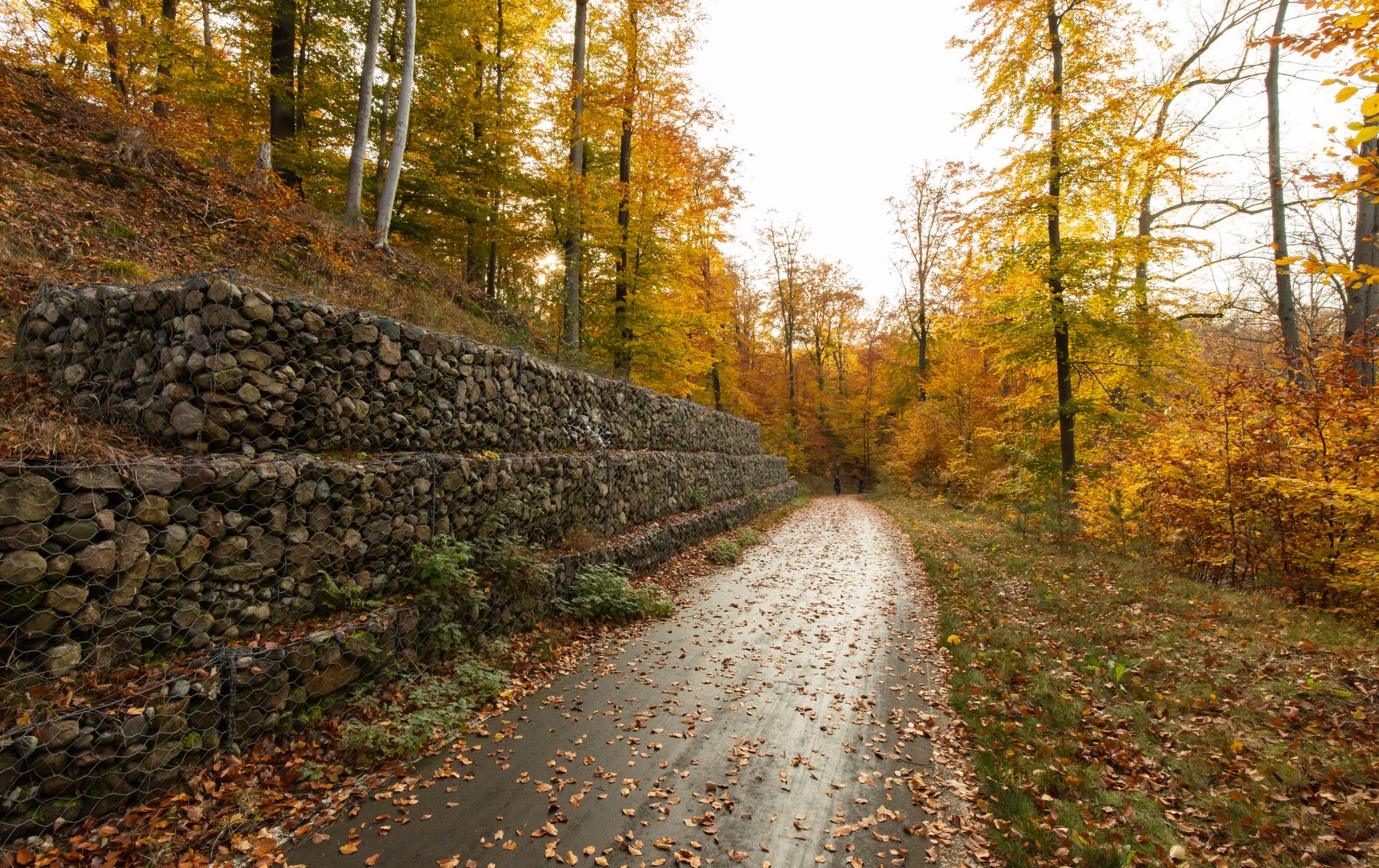
Photograph the finished wall from the same reference points used before work. Record top and toe grades, visible outlets, wall ends, steps, corners, paving interfaces, and restored planting. Recheck after the first sustained rainfall and periodically through the wet season. Watch for fresh sediment, blocked outlets, ponding above, eroded soil below, opened joints, displaced caps, renewed lean, and cracks in adjoining surfaces.
Keep drainage paths visible and avoid adding soil, storage, structures, or vehicle loads above the wall without checking the design assumptions. If movement or new seepage appears, treat it as evidence and arrange review rather than repeatedly patching the face. For a wall with uncertain movement, changing grades, drainage complications, or nearby structures, ask Atkinson Landscaping to assess the landscape scope and identify where engineering or municipal input belongs.
References and further reading
- City of Surrey: Retaining Wall Permit
- City of Surrey: Living Near Steep Slopes
- Concrete Masonry & Hardscapes Association: Inspection Guide for Segmental Retaining Walls
- BC 1 Call: Homeowner and contractor locate resources
- Atkinson Landscaping: Retaining-wall options and scope factors